

C1±3 mmSurface tolerance
Smart Roads & Pavements
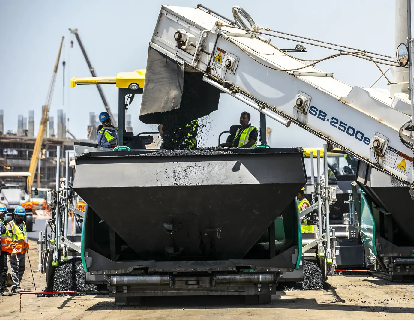
Instrumented highways and urban streets with embedded strain, thermal and traffic sensors laid in every lift.
- Warm mix asphalt
- Intelligent compaction
- Sensor lifts
Sahel Infrastructure Group surveys, designs, builds and maintains the smart roads, utilities and public realm behind the Gulf's most ambitious programmes.
Twenty years ago we started with one survey crew and a borrowed grader. Today we run a vertically integrated group that models every corridor as a digital twin before it is built, and keeps measuring it long after it opens.
Delivery partners and clients
Every crew, plant and lab works from the same live model, so quality is measured at the source instead of inspected at the end.
Instrumented highways and urban streets with embedded strain, thermal and traffic sensors laid in every lift.
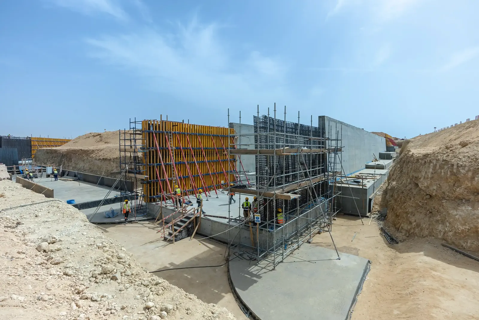
Bridges, underpasses and deep retaining walls engineered from a federated BIM model.
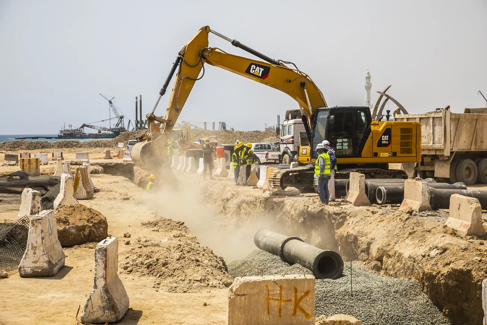
Stormwater, potable, district cooling and fibre corridors coordinated in one trench plan.

Machine controlled cut and fill driven straight from the survey twin, day and night.
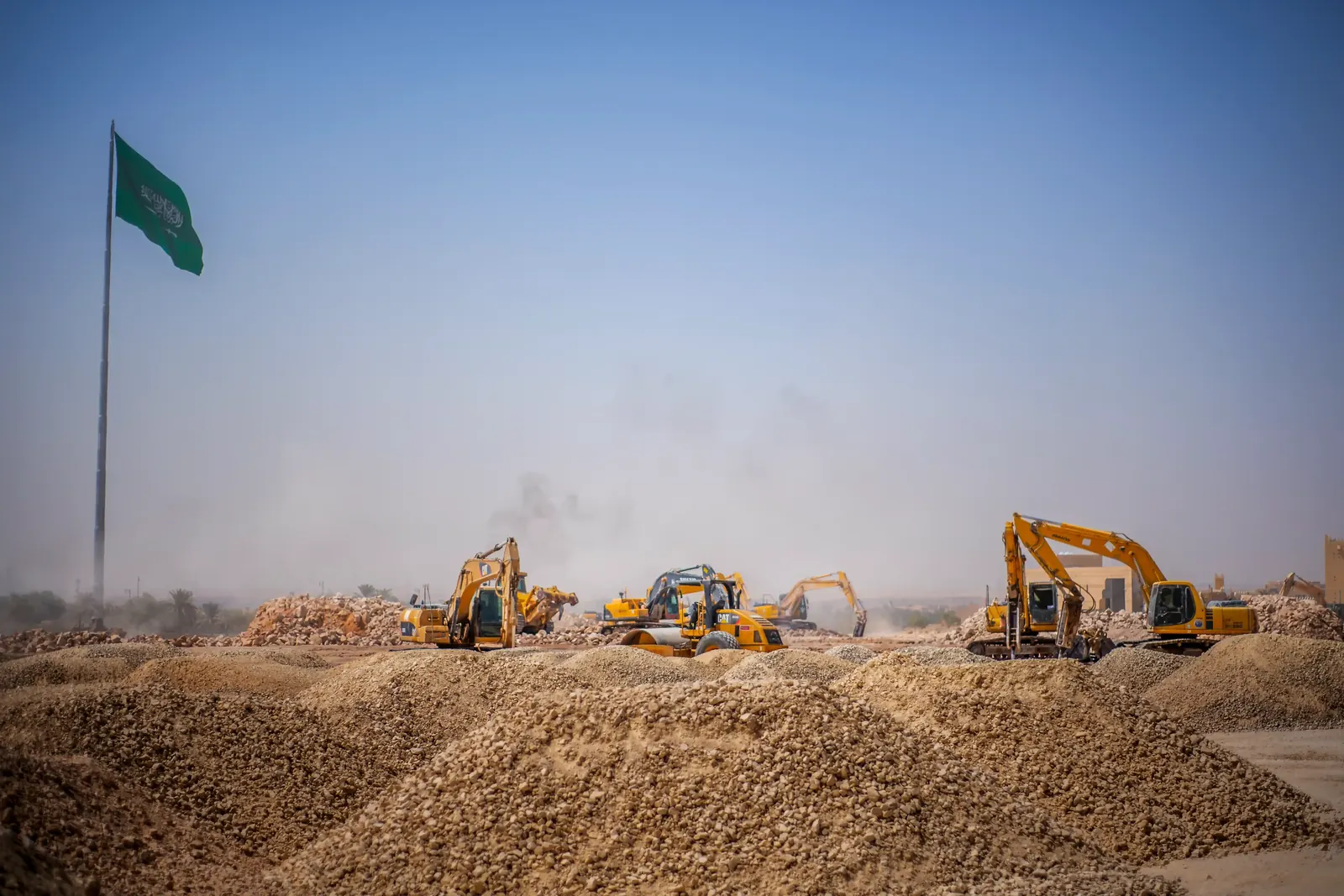
Owned quarries and an accredited lab that tunes every mix to the climate it will live in.
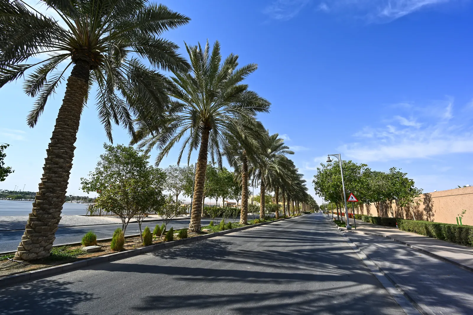
Shaded boulevards and parks irrigated by treated water, designed for 50 °C summers.
One team carries the same digital twin through every phase, so nothing is lost between the surveyor, the designer, the crew and the people who maintain it.
LiDAR, drone photogrammetry and geotechnical boreholes build a digital twin of the ground before a single machine moves.
Pavement, structural and utility designs are coordinated in one federated model, with clashes resolved on screen rather than on site.
Our own fleet, asphalt and aggregate plants deliver to schedule, and every layer is tested and logged before the next goes down.
Embedded sensors and condition surveys feed a predictive programme, so we repair what the data flags before anyone notices.
Tap a site to open its project file. Every corridor reports back to the Riyadh operations centre in real time.
 02 / 06In delivery
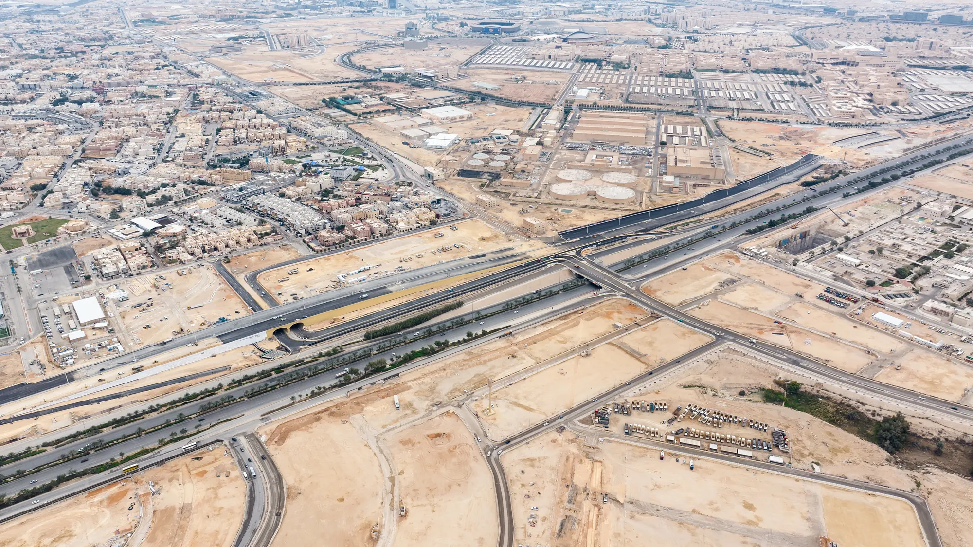
Four level interchange, 14 ramps and 1,400 strain sensors cast into the decks.
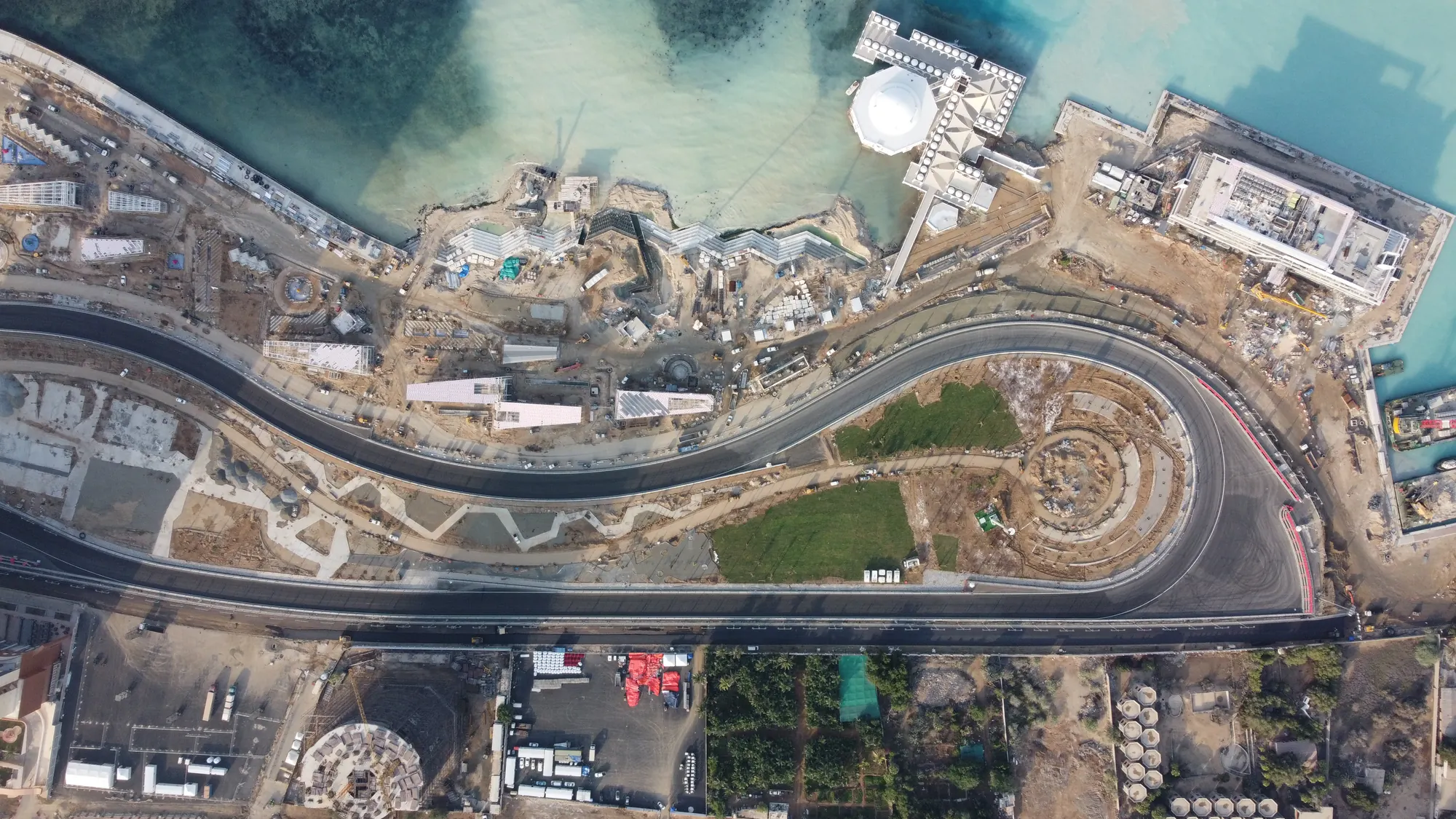 21.60° N / 39.10° E
6.2 km sensor enabled coastal boulevard with smart lighting and stormwater outfalls.
24.85° N / 46.70° EFour level interchange, 14 ramps and 1,400 strain sensors cast into the decks.
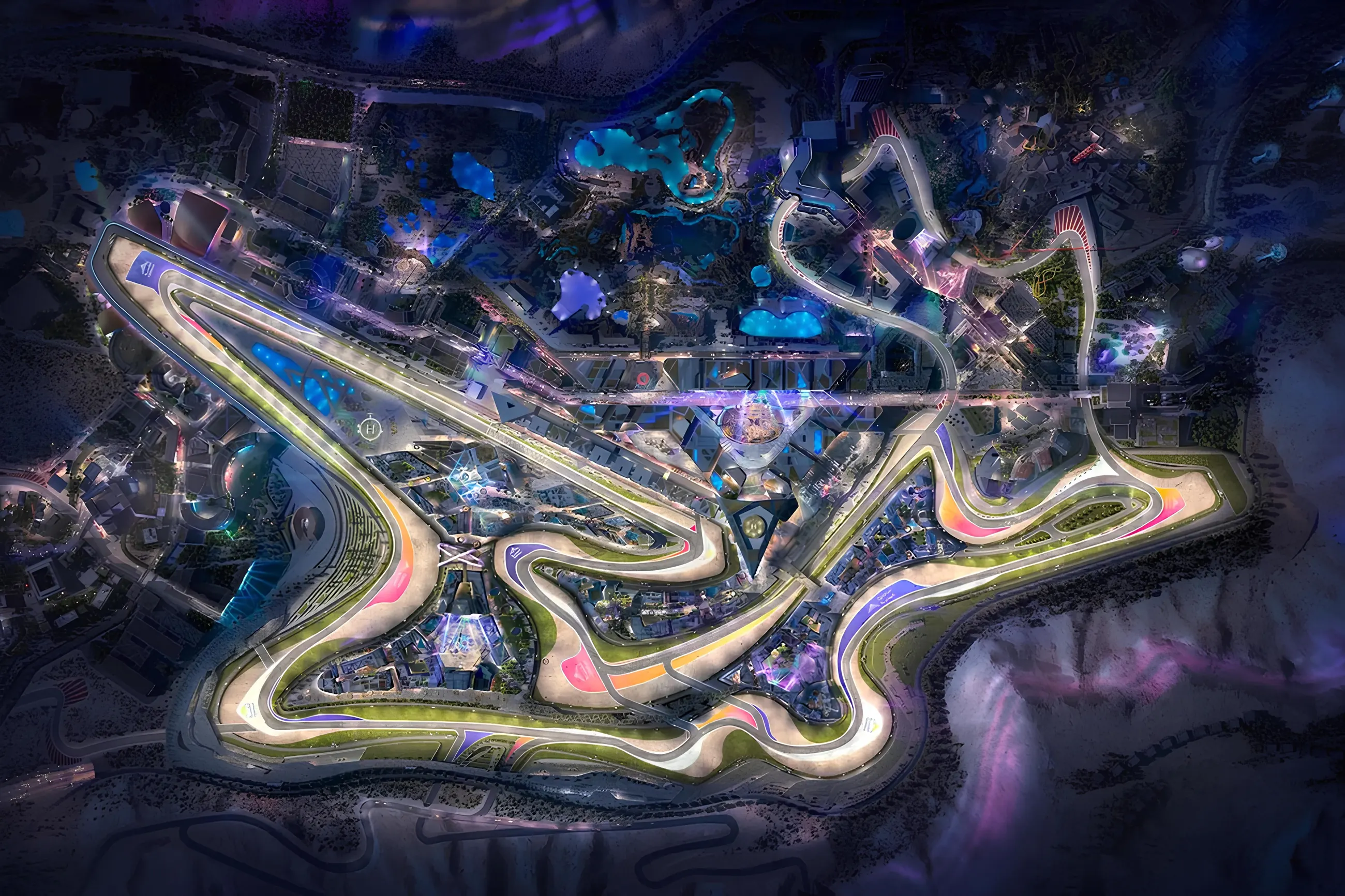
25.17° N / 51.60° ENight race circuit with LED edge lighting, grip tuned surfacing and spectator plazas.
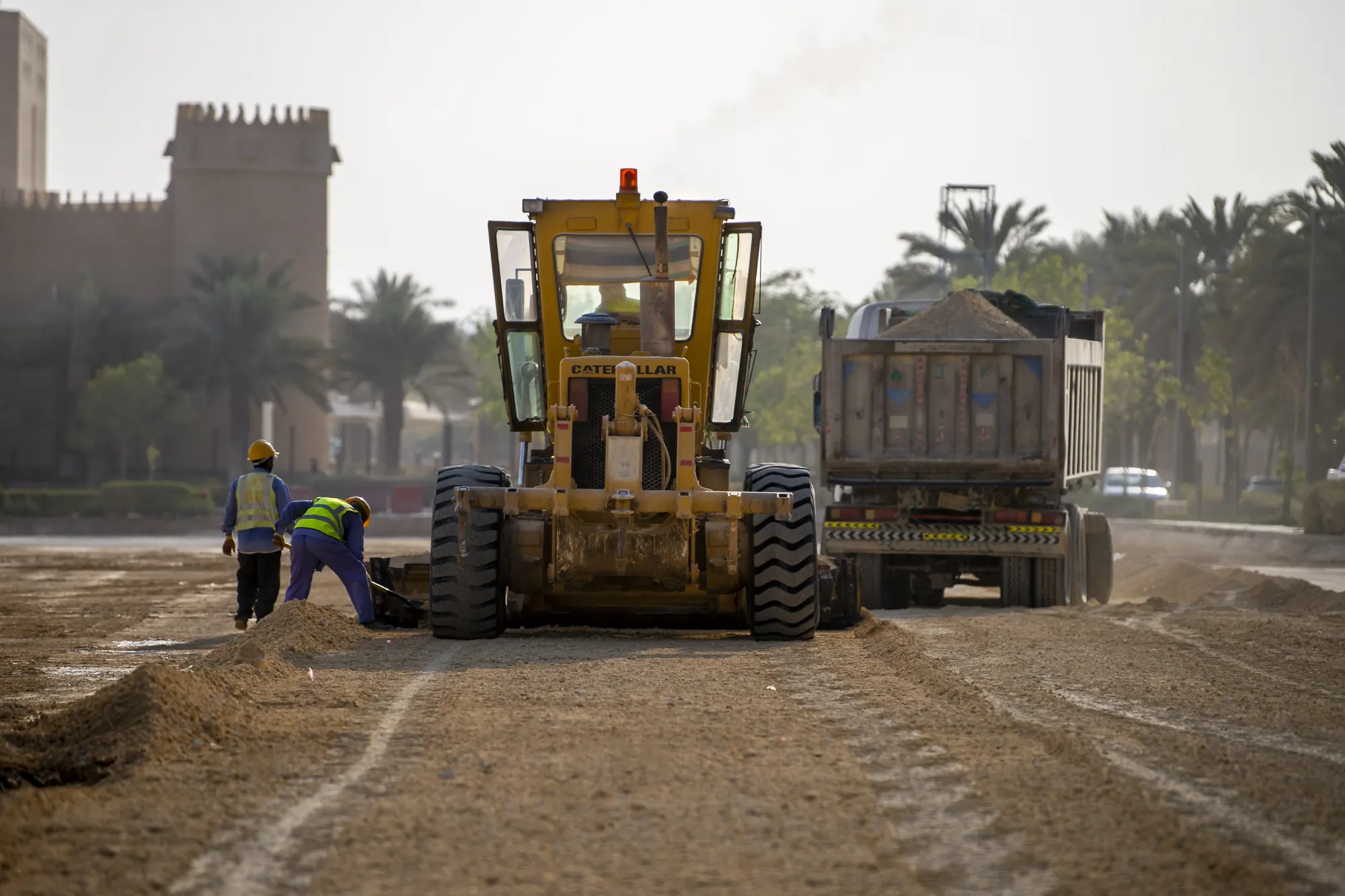 26.60° N / 37.90° E
Low impact street works around a protected fort, laid with locally quarried stone.
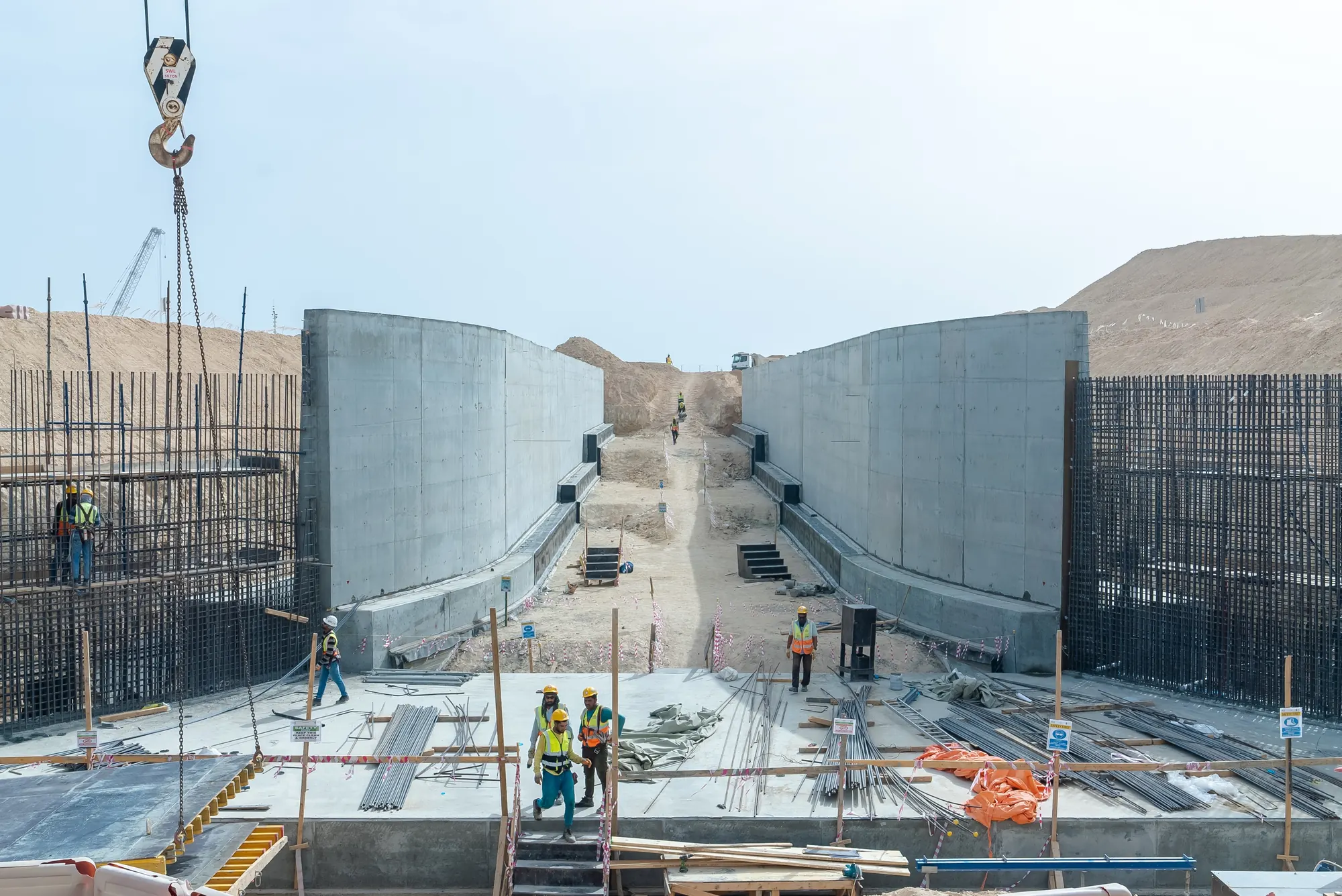 19.67° N / 57.70° E
Heavy haul road and 1.8 km of reinforced retaining walls linking quay to free zone.
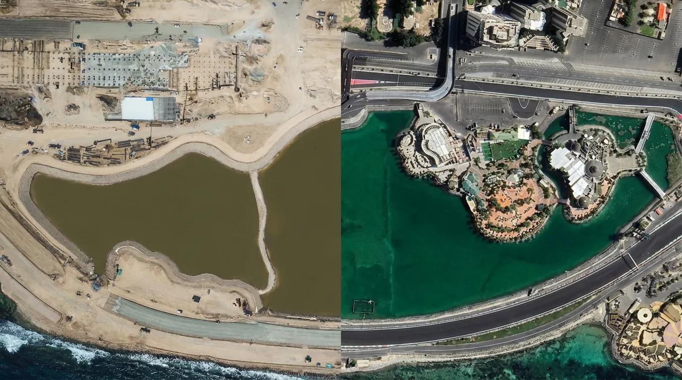 24.45° N / 54.40° E
Dredged and re-profiled lagoon, living shoreline and a 3 km shaded promenade.
Audited 2025 figures against our 2030 commitments. The sand marker on each gauge is the target we have signed up to.
Share a site, a corridor or a tender and an engineering lead will reply within two working days with a first read of risks, phasing and data needs.